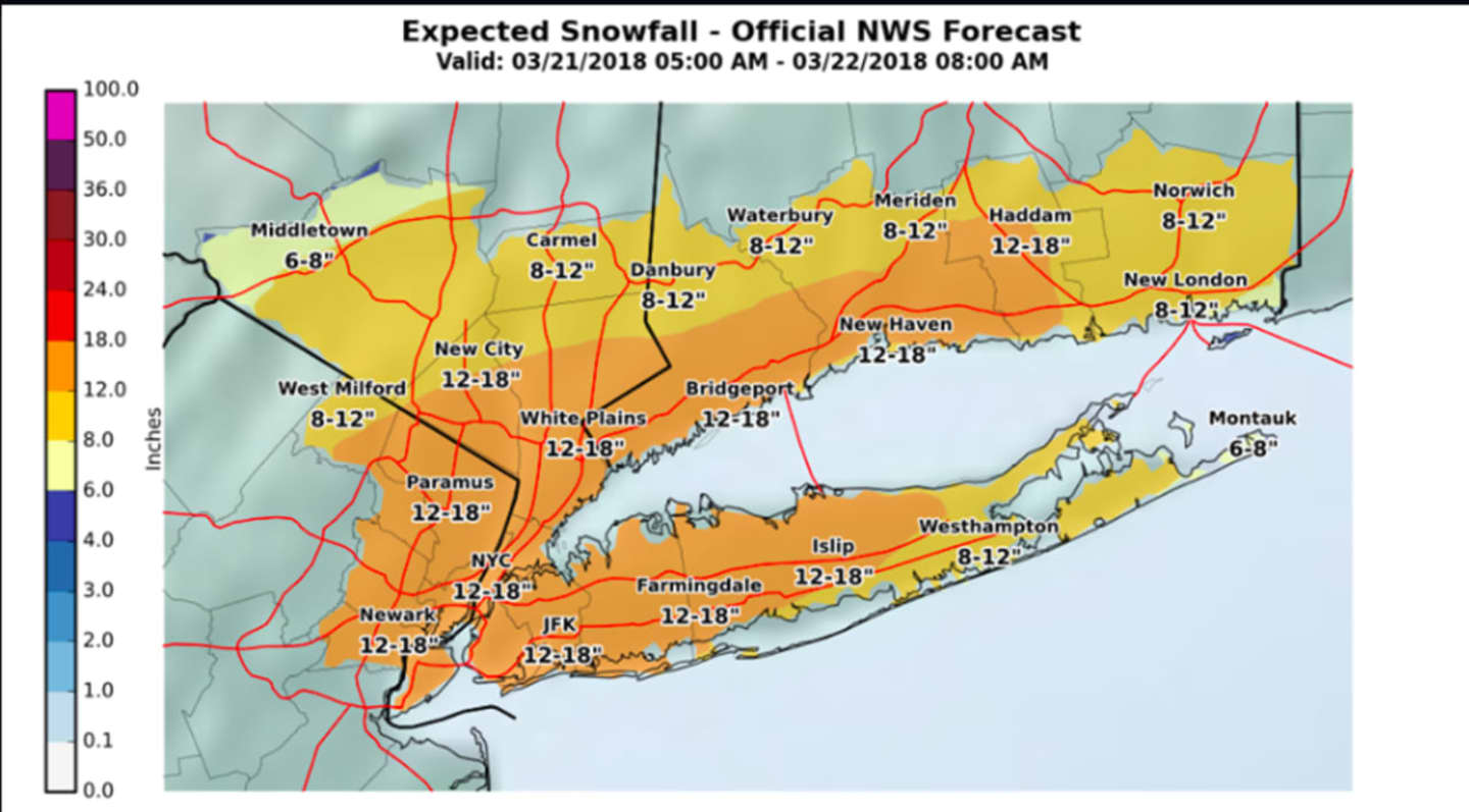


The latest snowfall projections, by the National Weather Service and AccuWeather.com, can be viewed in the first two images above.
Snow is expected to begin sometime Wednesday morning and continue throughout the day, becoming heavy at times Wednesday afternoon and evening with snowfall rates of 1 to 3 inches per hour are possible for the afternoon and evening, said the National Weather Service. Visibility will be one-quarter of a mile or less at times.
The heavy, wet snow, combined with strong winds, could lead to new power outages and tree damage.
Winds will gust 35 to 45 mph along the coast during the height of the storm on Wednesday, and 25 to 35 mph farther inland. (See the fifth image above.)
Winter Storm Warnings are in effect for the entire area from 6 a.m. Wednesday until 6 a.m. Thursday.
Check back to Daily Voice for updates.
Click here to follow Daily Voice North Rockland and receive free news updates.